Photo Point 054
Description:
The view NE from Mica Secondary, Rincon Mts (ELT 13a) into the headwaters of Tanque Verde Creek and Tres Pipas Canyon (ELT 13c).
Photo:
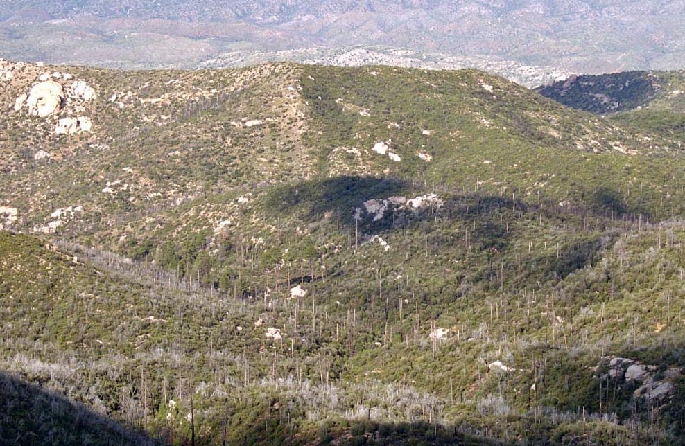
This area was burned twice in the last 15 years, and the difference in regrowth is visible in the photo center.
Photo date:
September 1, 2008
Photo credit:
Jim Malusa
View looking:
NE Vegetation:
| Species | Relative abundance | Cover | Mean height in meters and notes | |
|---|---|---|---|---|
| Pseudotsuga menziesii | common | Unknown | ||
| Quercus hypoleucoides | dominant | Unknown |
Silverleaf oak is the dominant post-burn species |
|
| Pinus ponderosa | common | Unknown | ||
| Pinus strobiformis | common | Unknown |
| Species | Relative abundance | Cover | Mean height in meters and notes | |
|---|---|---|---|---|
| Arctostaphylos pungens | common | Unknown |
Photo Point 055 Quercus hypoleucoides 4 5 2 m |