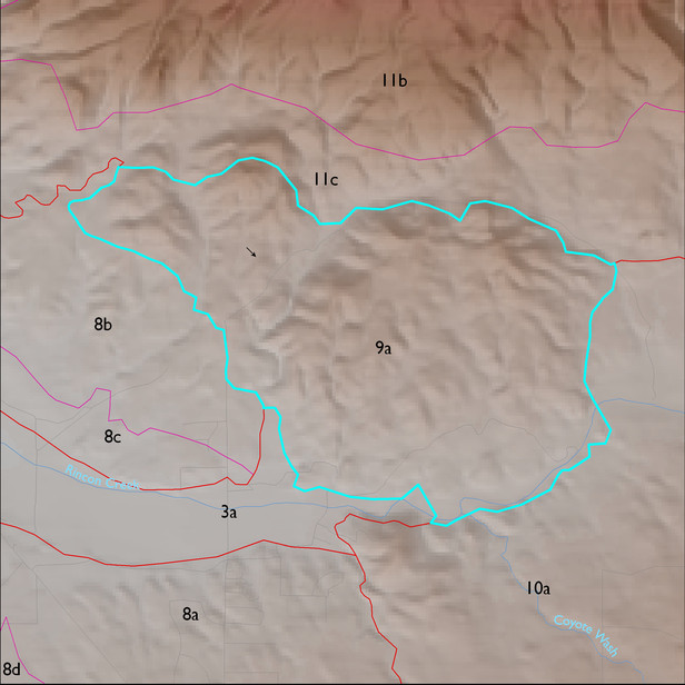
ELT 9a
Soil Summary:
shallow and moderately deep to granite or granite like rocks; extremely gravelly loam and sandy loam surface layers over very and extremely gravelly loam and extremely gravelly sandy clay subsurface layers; both no lime and limy; moderate development (lime and clay accumulations); dominated by Pima County soil survey map units 59 (Pantano –Rock outcrop complex, 25 to 60 percent slopes) and 58 (Pantano-Granolite complex, 5 to 25 percent slopes. These units comprise 73% and 23% of the LTA, respectively
Geologic Materials:
alluvium and residuum associated with KJb, heterogeneous granodioritic rocks of the north White Tank Mountains (Xgd, Xfg, Xgm, TXm), Pleistocene piedmont alluvium (Qi2, Qi, Qi1, Qi2r), and Pleistocene river terraces (Qyr) which comprise 75%, 21%, 3% and 1% of the unit, respectively
Landforms:
moderately to finely dissected, weakly to moderately incised fan and pediment surfaces