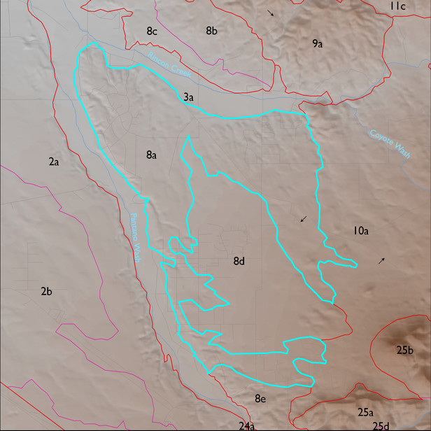
ELT 8a
Soil Summary:
very deep; very gravelly clay loam, gravelly sandy loam, and very gravelly sandy loam surface layers over gravelly, very gravelly and extremely gravelly sandy loam, gravelly and very gravelly sandy clay loam subsurface layers; lime depth ranges from the surface to more than a foot below the soil surface; no to modest development (lime and clay accumulation); dominated by Pima County soil survey map units 60 (Pinaleno-Stagecoach complex, 5 to 16 percent slopes), 54 (Palos Verdes-Jaynes complex, 2 to 8 percent slopes), 62 (Pinaleno very cobbly sandy loam, 1 to 8 percent slopes), and 61 (Pinaleno-Stagecoach complex, 10 to 35 percent slopes). These units comprise 33, 24, 20 and 16% of the ELT, respectively
Geologic Materials:
alluvium and residuum associated with Pleistocene piedmont alluvium (Qi2, Qi, Qi1, Qi1r, Qi2r, Qi3, Qy), sandstone, siltstone, and conglomerate, undivided (QTs), Pliocene to early Pleistocene river deposits (QTsr), Pleistocene river terraces (Qir, Qy2), old alluvium (QTs), and small areas of rock exposure (mostly granodiorite) which comprise 59%, 17%, 16%, 4%, 2%, 1% and 3% of the unit, respectively
Landforms:
coarsely to moderately dissected, moderately incised fan and pediment surfaces