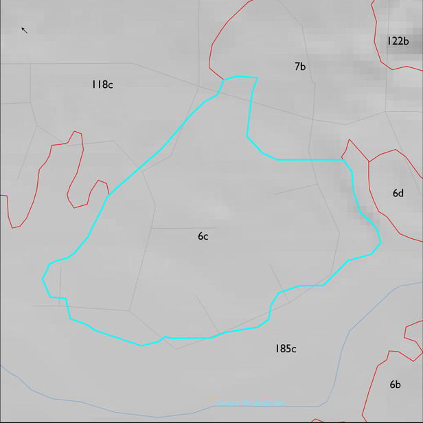
ELT 6c
Soil Summary:
very deep; gravelly sandy loam and very gravelly fine sandy loam surface layers over gravelly sandy loam, gravelly sandy clay loam, fine sandy loam, and loam subsurface layers; lime depth ranges from the surface to more than a foot below the surface; weak to moderate development (clay accumulation); dominated by Pima County soil survey map units 55 (Palos Verdes-Sahuarita complex, 2 to 8 percent slopes) and 54 (Palos Verdes-Jaynes complex, 2 to 8 percent slopes). These units comprise 73 and 26% of the ELT, respectively
Geologic Materials:
alluvium and residuum associated with middle to late Pleistocene piedmont alluvium, undivided (Qi) and Holocene river deposits (Qyr) which comprise 93% and 5% of the unit, respectively
Landforms:
moderately dissected, weakly to moderately incised fan and pediment surfaces