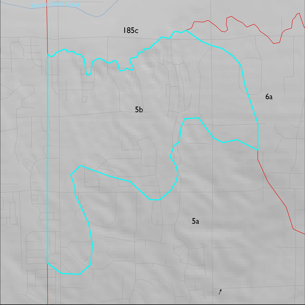
ELT 5b
Soil Summary:
very deep, gravelly sandy loam surface layers over gravelly sandy loam and gravelly sandy clay loam subsurface layers; lime depth ranges from the soil surface to more than a foot below the surface; weak to moderate (clay accumulation) development; dominated by Pima County soil survey map unit 54 (Palos Verdes-Jaynes complex, 2 to 8 percent slopes). This unit comprises nearly 100 percent of the unit
Geologic Materials:
alluvium and residuum associated with Middle Pleistocene river terrace deposits (Qi1r, Qi3), and Quaternary and Tertiary sandstone, siltstone and conglomerate, undivided (QTs) which comprise 98% and 2% of the ELT, respectively
Landforms:
coarsely to moderately dissected, weakly to moderately incised fan and pediment surfaces except adjacent to Tanque Verde Wash which are moderately to finely dissected and moderately to deeply incised