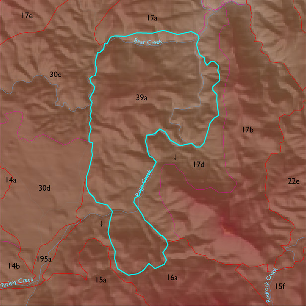
ELT 39a
Soil Summary:
soil survey data coverage is incomplete for this ELT; based on mapped areas (about two thirds of the ELT) the dominant soils are shallow to granite or granite like rocks, have gravelly or very gravelly sandy loam surfaces layers over very gravelly fine sandy loams or very gravelly sandy clay loams, they lack lime, and have no to moderate development (clay accumulation); mapped areas are dominated by Cochise County Northeastern Part soil survey map unit 69 (Romero-Nodman-Rock Outcrop complex, 5 to 60 percent slopes)
Geologic Materials:
alluvium, colluvium and residuum associated with amphibolite after Apache Diabase (TYd); mixed marble, Pinal Schist and porphyritic biotite granite (PXgn); giotite granitoids of Happy Valley area (YXg); tectonite derived from Devonian and Cambrian sedimentary rocks (TDCt); and Horquilla(?)-Earp(?) tectonite (P1eht) which comprise 31%, 25%, 22%, 9% and 8% of the unit, respectively
Landforms:
moderately to finely dissected, moderately to deeply incised mountain slopes