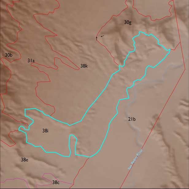
ELT 38i
Soil Summary:
very deep, very gravelly sandy loam to sand surface soils over gravelly, very gravelly and extremely gravelly sandy loam to sand subsurface layers, soils are limy throughout, moderate to strong development (lime accumulation); other soils are finer textured and very deep, typically silt loam surfaces over silty clay and clay subsurface layers, lime and gypsum concentrations occur throughout, moderate to strong development (lime and gypsum accumulation, clay accumulation); still other soil components are very deep, gravelly sandy loam to loamy sand surface layers over subsurface layers ranging from gravelly and very gravelly sandy loams to gravelly and very gravelly loamy sands and coarse sands, often stratified, lime content varies, no to little development; other soils are very deep, have loamy fine sand surface layers over fine sand subsurface layers, some lime but content varies throughout profile, no or little development; unit is dominated by Cochise County Northeastern Part soil survey map unit 14 (Calcigypsids-Contention-Redo complex, Chihuahuan, 5 to 45 percent slopes), 1 (Agustin-Yturbide-Kokan complex, Chihuahuan, 1 to 8 percent slopes), and 9 (Brazito loamy sand, Chihuahuan, 0 to 5 percent slopes). These units comprise 45%, 33% and 21% of the ELT, respectively
Geologic Materials:
alluvium and residuum associated with Late Holocene alluvium (Qy2); Middle Pleistocene alluvium (Qi2); Middle Pleistocene river terrace deposits (Qi2r); Late Holocene river deposits (Qy2r); and Pliocene red fine-grained basin fill deposits (Ts) which comprise 56%, 13%, 13%, 8% and 5% of the ELT, respectively
Landforms:
coarsely to moderately dissected, weakly to moderately incised fans, terraces and pediments