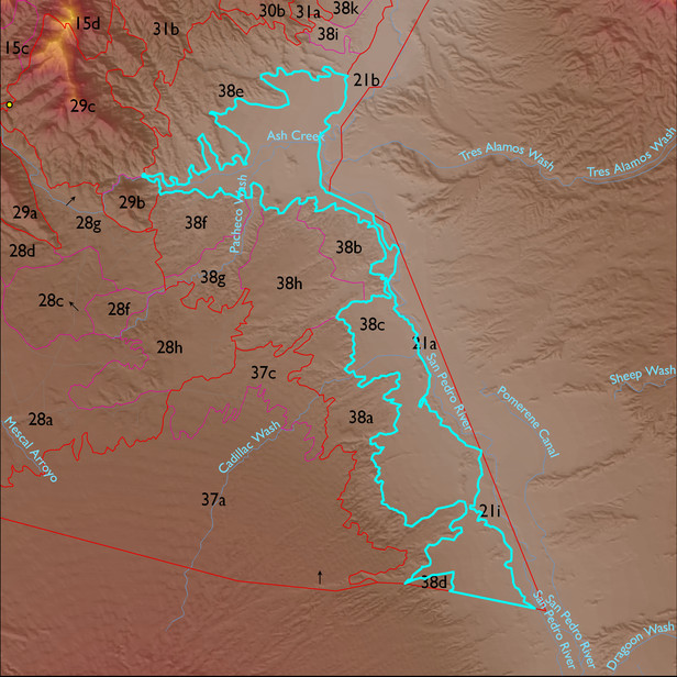
ELT 38c
Soil Summary:
dominant soils are highly variable in terms of texture but all have concentrations of gypsum and lime; some soils have silt loam surface layers over silty clay and clay subsoils, others are fine sandy loams and loams over silt loams, fine sandy loams, and loamy coarse sand, often stratified, other soils have loamy fine sand surface layers over fine sand ; dominated by Cochise County Northeastern Part soil survey map units 31 (Contention-Ugyp complex, 0 to 5 percent slopes), 32 (Contention-Whitecliff complex, eroded, 0 to 5 percent slopes), 9 (Brazito loamy sand, Chihuahuan, 0 to 5 percent slopes), and 29 (Contention silt loam, 2 to 5 percent slopes). These units comprise 23%, 17%, 17% and 10% of the ELT, respectively
Geologic Materials:
alluvium associated with Late Holocene alluvium (Qy2); undifferentiated Holocene alluvium (Qy); undifferentiated Holocene alluvium derived from Tsd (Qysd); and thin Holocene alluvium and Pliocene-Pleistocene basin fill (Qys) which comprise 37%, 22%, 9% and 9% of the unit, respectively
Landforms:
coarsely dissected, weakly incised fans, terraces and pediments