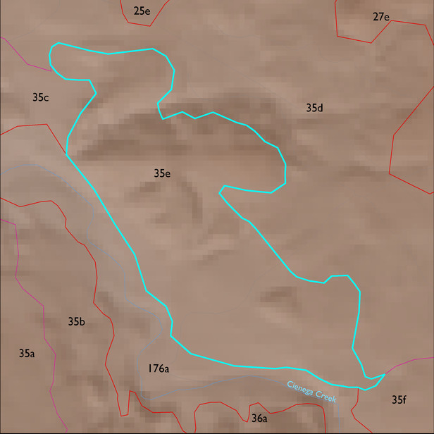
ELT 35e
Soil Summary:
mostly shallow and moderately deep to bedrock, a complex of extremely gravelly loams associated with schist with lime accumulations and non-limy extremely gravelly sandy loams over extremely gravelly sandy clays related to rhyolite; soils are moderately to well developed (lime and clay accumulations); dominated by Pima County soil survey map unit 58 (Pantano-Granolite complex, 5 to 25 percent slopes) which comprises 83% of the ELT
Geologic Materials:
alluvium, colluvium, and residuum associated with Lower Davidson Canyon facies, mixed conglomerate, reddish (Tpi); Turkey Track Andesite (Tpv); old alluvium (QTs); early Pleistocene river terrace deposits (Qor); and Miocene to Quaternary conglomerate with colluvial veneer (QTsc) which comprise 22%, 20%, 17%, 14%and 10% of the ELT, respectively
Landforms:
coarsely to moderately dissected, weakly to moderately incised fans, pediments and low hills