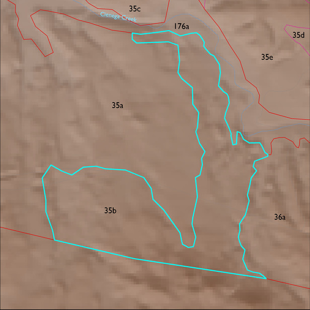
ELT 35b
Soil Summary:
shallow to phyllite or similar bedrock, extremely channery loam surface layer over extremely channery clay subsoil, no lime, moderate to strong development (clay accumulation); dominated by Pima County soil survey map unit 24 (Deloro-Rock outcrop complex, 15 and 60 percent slopes) which comprises 97% of the ELT
Geologic Materials:
alluvium, colluvium, and residuum associated with with Turkey Ranch Formation, Bisbee Group, quartzose sandstone (Kbt); Pantano Lower Conglomerate (Tpi); Glance Conglomerate (KJg); Willow Canyon, Apache Canyon, and Schellenberger Canyon Formations (Kbs); and Cienega Creek channel deposits and Holocene terraces (Qyr) which comprise 28%, 26%, 21%, 10% and 7% of the ELT, respectively
Landforms:
coarsely to moderately dissected, weakly to moderately incised fans, pediments and low hills