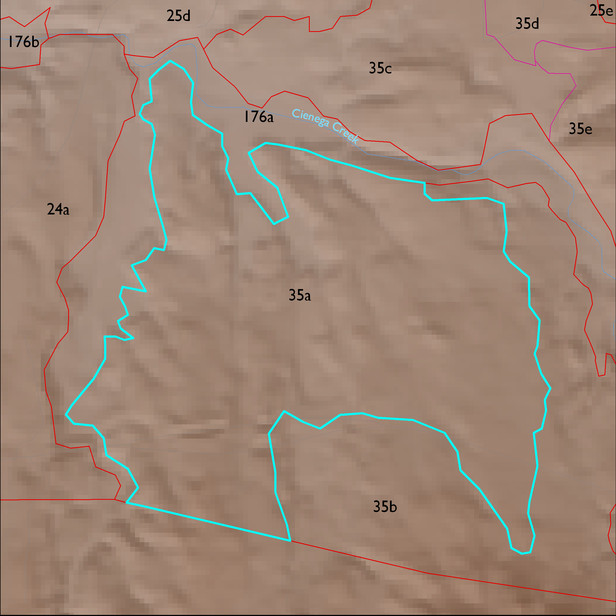
ELT 35a
Soil Summary:
very deep, very gravelly fine sand over stratified sands, fine sands, gravelly coarse sands, etc., mixed limy and non-limy layers, little or no development; dominated by Pima County soil survey map unit 66 (Redington very gravelly fine sand, 3 to 50 percent slopes) which comprises 96% of the ELT
Geologic Materials:
alluvium, colluvium, and residuum associated with Willow Canyon, Apache Canyon, and Schellenberger Canyon Formations (Kbs); Glance Conglomerate (KJg?); old alluvium (QTs); upper member of Pantano Formation (Tpu); Turkey Track Andesite (Tpv); Cienega Creek middle to late Pleistocene terraces (Qir); and Glance, limestone clast, granite clast, heterolithic facies (Kbg) which comprise 23%, 24%, 13%, 9%, 7%, 6% and 5% of the ELT, respectively
Landforms:
coarsely to moderately dissected, weakly to moderately incised fans, pediments and low hills
