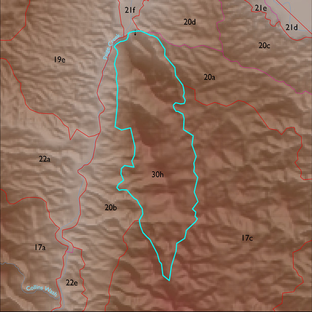
ELT 30h
Soil Summary:
dominant soils are very shallow and shallow to granite and similar rocks; very cobbly loams or very gravelly sandy loams throughout, some soils with gravelly clay loam surfaces and gravelly clay and clay subsoils; no lime; no to moderate soil development (clay accumulation); dominated by Cochise County Northeastern Part soil survey map unit 71 (Romero- Rock outcrop complex, 5 to 60 percent slopes) which comprises 100% of the ELT
Geologic Materials:
alluvium, colluvium and residuum associated with the Precambrian quartz monzonite of Lingrey, 1982 (YXg); Escabrosa-Horquilla tectonite (PMct); Pinal Schist (Xp); and Johnny Lyon Granodiorite (Xgi) which comprises 92% of the unit
Landforms:
moderately to finely dissected, weakly to moderately incised mountain slopes