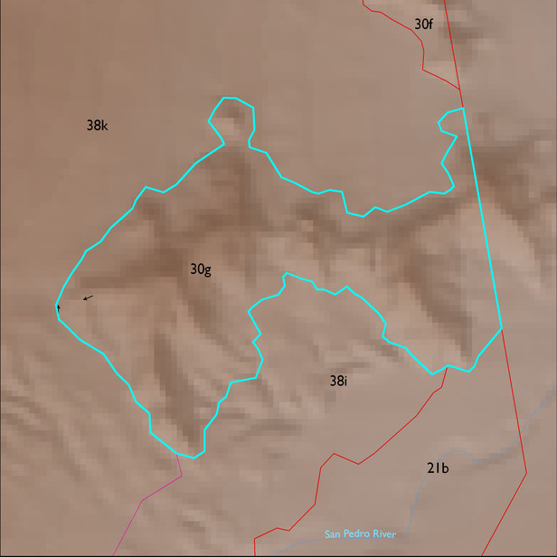
ELT 30g
Soil Summary:
the dominant soils are very shallow and shallow to granite and similar rocks; very cobbly loams or very gravelly sandy loams throughout, some soils with gravelly clay loam surfaces and gravelly clay and clay subsoils; no lime; no to moderate soil development (clay accumulation); this unit is dominated by Cochise County Northeastern Part soil survey map unit 86 (Wikieup family-Anklam complex, 10 to 45 percent slopes). It comprises nearly 100% of the unit
Geologic Materials:
alluvium, colluvium and residuum associated with the Johnny Lyon Granodiorite (Xgj); Late Holocene Alluvium (Qy2); and Early Pleistocene alluvium, planar, indurated, strong calcium carbonate (Qi1) which comprise 62%,10% and 8% of the unit, respectively
Landforms:
moderately dissected, moderately incised hills