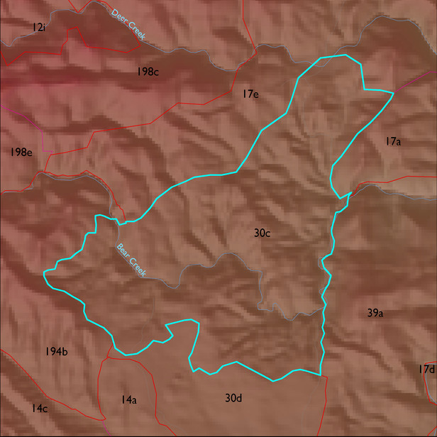
ELT 30c
Soil Summary:
soil survey information is incomplete for this unit; based on a 40% sample the dominant soils are very shallow and shallow to granite and similar rocks; very cobbly loams or very gravelly sandy loams throughout, some soils with gravelly clay loam surfaces and gravelly clay and clay subsoils; no lime; no to moderate soil development (clay accumulation); the mapped area of this unit is dominated by Cochise County Northeastern Part soil survey map unit 69 (Romero-Nodman-Rock outcrop complex, 5 to 60 percent slopes)
Geologic Materials:
alluvium, colluvium and residuum associated with the granite of Red Rock Canyon (YXgr), Middle Proterozoic Granitic Rocks (Yg), and Early Proterozoic Pinal Schist (Xp) which comprise 51%, 33% and 12% of the unit, respectively
Landforms:
finely dissected, weakly to moderately incised mountain slopes and hills