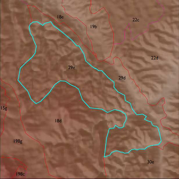
ELT 29e
Soil Summary:
dominant soils are shallow to schist, very channery loams throughout, devoid of lime, no or little development; unit is dominated by Pima County soil survey map unit 74 (Schrap very channery loam, 5 to 30 percent slopes) and Cochise County, Northwestern Part soil survey unit 74 (Schrap-Rock outcrop complex, 5 to 65 percent slopes). These units comprise 57% and 30% of the ELT
Geologic Materials:
residuum, colluvium and alluvium associated with Pinal Schist (Xp) which comprises 92% of the unit
Landforms:
finely dissected, moderately to deeply incised mountain slopes and hills
