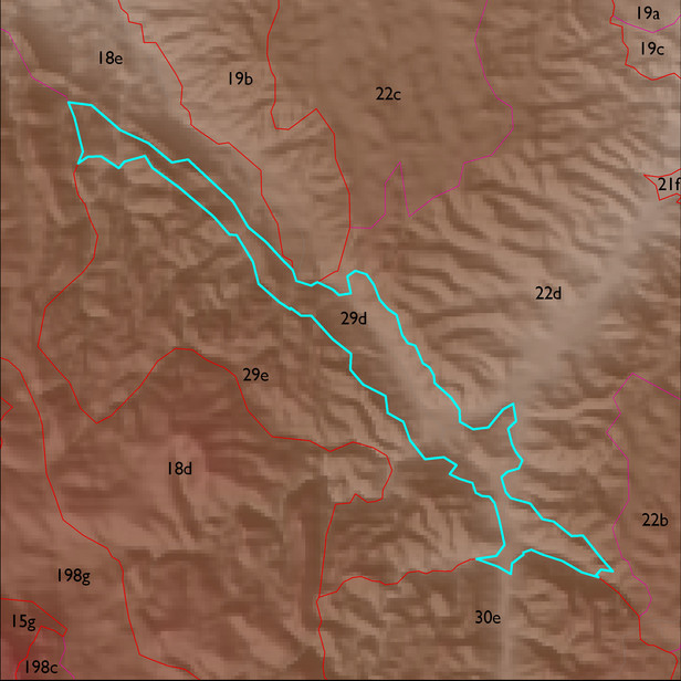
ELT 29d
Soil Summary:
dominant soils are shallow and moderately deep to sandstone, phyllite and related rocks, coarse sandy loam, to extremely channery or gravelly loam surfaces over clay loam, extremely gravelly loam to extremely channery clay subsoils, lime may or may not be present, moderate to strong development (lime and clay accumulation), smaller areas of very deep recent alluvium with very and extremely gravelly sandy loams and sands also occur in the ELT; unit is dominated by Cochise County, Northwestern Part soil survey unit 46 (Grizzle-Rock outcrop complex, 10 to 50 percent slopes), Pima County soil survey map unit 23 (Deloro-Andrada complex, 5 to 35 percent slopes), and Cochise County, Northwestern Part soil survey unit 7 (Bodecker-Riverwash complex, 0 to 3 percent slopes). These units comprise 54%, 25% and 14% of the ELT
Geologic Materials:
residuum, colluvium and alluvium associated with Mineta Sandstone (Tms); Mineta Conglomerate (Tmc); Tertiary sediments (Ts); Pinal Schist (Xp) and Quiburis Conglomerate which comprise 33%, 21%, 15%, 15% and 7% of the unit, respectively
Landforms:
moderately to finely dissected, weakly to moderately incised mountain slopes and hills