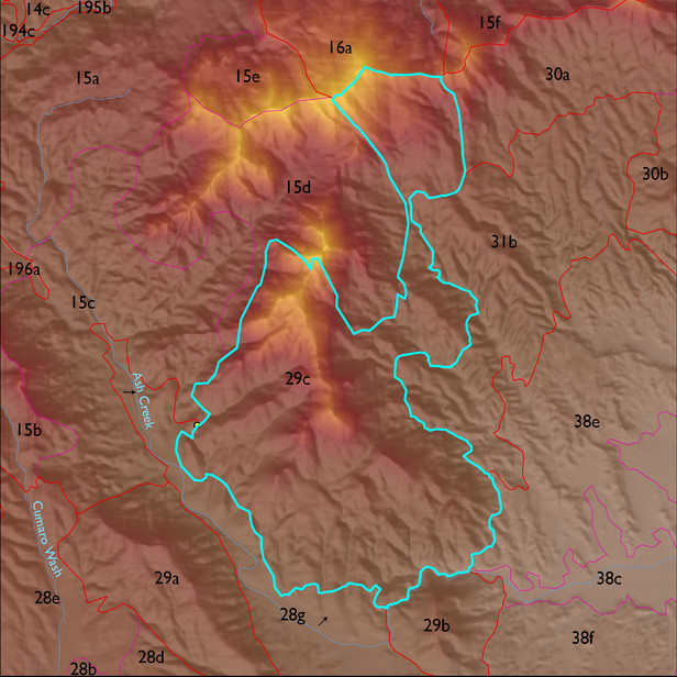
ELT 29c
Soil Summary:
soil survey information exists for about two-thirds of this ELT; : dominant soils are very shallow and shallow to bedrock, very gravelly sandy loam surfaces over extremely or very gravelly fine sandy loams, lack lime, and have little to modest soil development (organic matter accumulation), other less extensive soils are similar but have pronounced subsoil clay accumulations; unit dominated by Cochise County, Northwestern Part soil survey map units 71 (Romero-Rock outcrop complex, 5 to 60 percent slopes), 12 (Budlamp-Rock outcrop complex, 5 to 70 percent slopes) and 11 (Brunkcow-Chiricahua-Andrada complex, 3 to 20 percent slopes)
Geologic Materials:
residuum, colluvium and alluvium associated with giotite granotoids of Happy Valley area (YXg); early Proterozoic Pinal Schist (Xp); and granodiorite (TKgd) which comprise 49%, 24% and 17% of the unit, respectively
Landforms:
moderately to finely dissected, moderately to strongly incised mountain slopes and hills