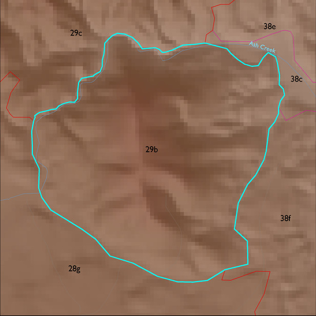
ELT 29b
Soil Summary:
dominant soils are shallow to schist and related granitic rocks, very gravelly and gravelly fine sandy loam and sandy loam surfaces over very gravelly fine sandy loam and sandy clay loam subsurface layers, no lime, no to moderate development (clay accumulation) ; unit is dominated by Cochise County, Northwestern Part soil survey unit 69 (Romero-Nodman-Rock outcrop complex, 5 to 60 percent slopes). This unit comprises 94% of the ELT
Geologic Materials:
residuum, colluvium and alluvium associated with early Proterozoic Pinal Schist (Xp) and sandstone, siltstone, and conglomerate, undivided (QTs) which comprise 69% and 18% of the unit, respectively
Landforms:
moderately dissected, weakly to moderately incised mountain slopes and hills