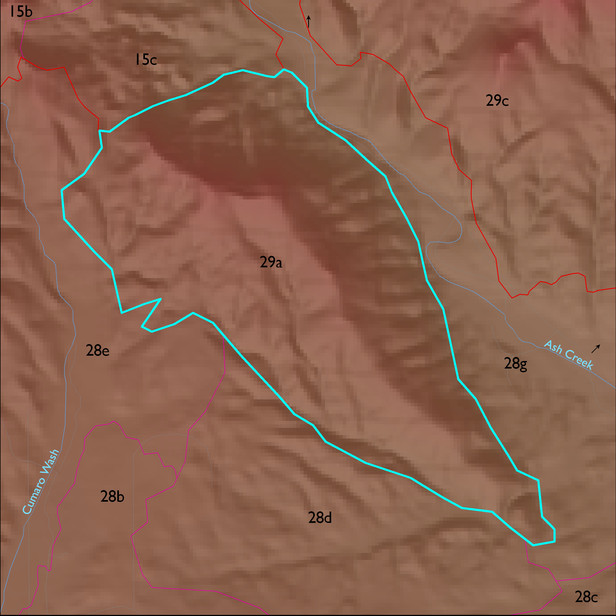
ELT 29a
Soil Summary:
soil survey information is incomplete for about half of this ELT, however dominant soils appear to be shallow to schist and related granitic rocks, very gravelly and gravelly fine sandy loam and sandy loam surfaces over very gravelly fine sandy loam and sandy clay loam subsurface layers, no lime, no to moderate development (clay accumulation), lesser amounts of other soils at lower elevations that are very deep, very gravelly fine sandy loams to loamy sands over very gravelly sandy clay loam to sandy loams, lime at or within a foot of the surface, moderate development (lime and clay accumulation) ; unit is dominated by Cochise County, Northwestern Part soil survey unit 69 (Romero-Nodman-Rock outcrop complex, 5 to 60 percent slopes) and 62 (Nolam-Stronghold complex, 5 to 30 percent slopes).
Geologic Materials:
residuum, colluvium and alluvium associated with Pinal Schist (Xp) which comprises 92% of the unit
Landforms:
moderately to finely dissected, weakly to moderately incised mountain slopes and hills