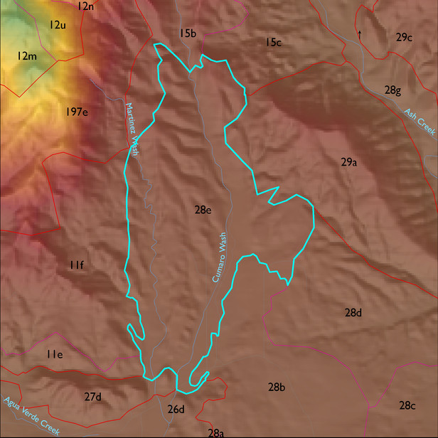
ELT 28e
Soil Summary:
soil survey data is incomplete for about half of this ELT but the dominant soils are very deep sandy loams with minimal lime deposits deeper in the soil profile associated with relatively recent alluvial deposits and some very deep better developed (clay accumulation) non-limy soils with extremely gravelly sandy loam surfaces over mostly very gravelly sandy clay loam subsoils; the mapped areas are dominated by Pima County soil survey map unit 6 (Comoro sandy loam, 0 to 2 percent slopes) and 10 (Caralampi extremely gravelly sandy loam, 15 to 45 percent slopes).
Geologic Materials:
alluvium and residuum associated with sandstone, siltstone and conglomerate, undivided (QTs); Holocene piedmont alluvium, undivided (Qy); middle to late Pleistocene piedmont alluvium, undivided (Qi2); and late to latest Pleistocene piedmont alluvium (Qi3) which comprise 67%, 11%, 9% and 7% of the unit, respectively
Landforms:
moderately dissected, moderately to deeply incised fan and pediment surfaces