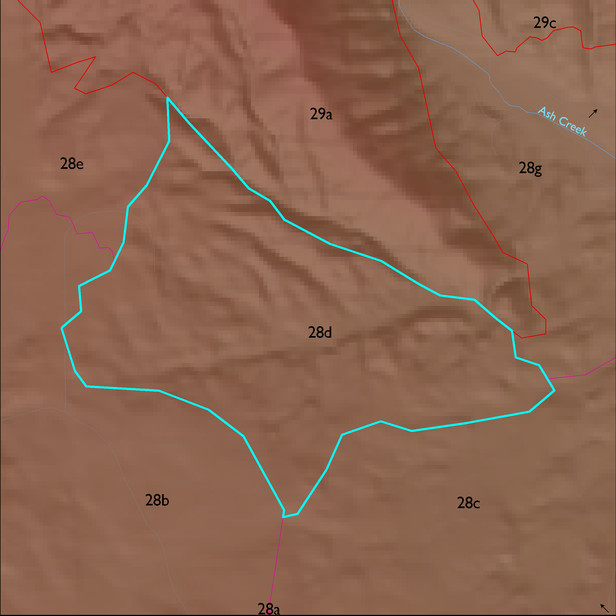
ELT 28d
Soil Summary:
soil survey data is incomplete for a small portion of this unit but the dominant soils are very deep, very gravelly loamy sand to loam surfaces over gravelly, very gravelly and extremely gravelly sandy loam to sandy clay loam or clay, clay loam, sandy clay loam and gravelly clay loam subsurface layers, limy throughout or roughly a foot or more to lime, moderate to strong development (lime and clay accumulation), some very deep non-limy soils with extremely gravelly sandy loam surfaces over mostly very gravelly sandy clay loam subsoils also occur in the ELT; unit is dominated by Cochise County, Northwestern Part soil survey unit 79 (Stronghold-McAllister-Elgin complex, 5 to 25 percent slopes), Pima County soil survey map unit 6 (Bernardino-Tombstone association, 5 to 16 percent slopes), Cochise County, Northwestern Part soil survey unit 62 (Nolam-Stronghold complex, 5 to 30 percent slopes) and Pima County soil survey map unit 10 (Caralampi extremely gravelly sandy loam, 15 to 45 percent slopes). They comprise 40%, 20%, 19% and 16% of the covered area, respectively
Geologic Materials:
alluvium and residuum associated with sandstone, siltstone and conglomerate, undivided (QTs) which comprises 94% of the unit, respectively
Landforms:
finely dissected, weakly to moderately incised fan and pediment surfaces