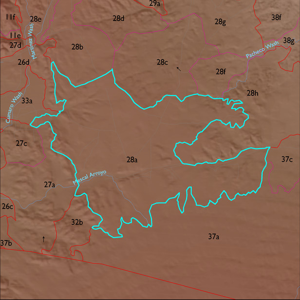
ELT 28a
Soil Summary:
dominant soils are very deep, very gravelly loamy sand and fine sandy loam to clay loam surfaces over gravelly, very gravelly and extremely gravelly sandy loam, fine sandy loam and or loamy sands or clay, clay loam and gravelly clay loam subsurface layers, limy throughout to more than a foot to lime, moderate to strong development (lime and clay accumulation) ; unit is dominated by Cochise County, Northwestern Part soil survey unit 79 (Stronghold-McAllister-Elgin complex, 5 to 25 percent slopes), Pima County soil survey map unit 79 (Tombstone very gravelly loam, 15 to 50 percent slopes), Cochise County, Northwestern Part soil survey unit 83 (Tombstone-Stronghold complex, 5 to 30 percent slopes), and Pima County soil survey map unit 6 (Bernardino-Tombstone asssociation, 5 to 16 percent slopes). This units comprise 37%, 15%, 12% and 12% of the ELT
Geologic Materials:
alluvium and residuum associated with sandstone, siltstone and conglomerate, undivided (QTs); basin fill deposits (QTs); Holocene alluvium (Qy); and Holocene piedmont alluvium, undivided (Qy) which comprise 36%, 35%, 12% and 5% of the unit, respectively
Landforms:
coarsely to finely dissected, weakly to moderately incised fan and pediment surfaces