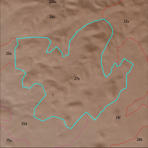
ELT 27e
Soil Summary:
mostly shallow to bedrock, better developed extremely channery loams over extremely channery clays related to phyllite and lacking lime and limy extremely gravelly loams associated with sandstone, also very deep, very gravelly fine sand over stratified sand, fine sand and gravelly coarse sand with variable lime presence and no soil development; dominated by Pima County soil survey map unit 23 (Deloro-Andrada complex, 5 to 35 percent slopes) and 66 (Redington very gravelly fine sand, 3 to 50 percent slopes) which comprise 79% and 12% of the ELT, respectively
Geologic Materials:
alluvium, colluvium and residuum associated with Proterozoic granite (Tpx); Quaternary surficial deposits, undivided (Qs); the upper member of the Pantano Formation (Tpu); and the Coyote Wells Facies of the Pantano Formation which comprise 64%, 15%, 14% and 5% of the ELT, respectively
Landforms:
undissected to coarsely dissected, weakly incised mountain hills