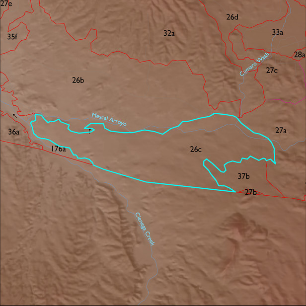
ELT 26c
Soil Summary:
very deep soils with very gravelly fine sandy loam and clay loam surfaces and dominantly very gravelly sandy loam, clay loam and sandy clay loam subsurface layers, lime at or near the surface, moderate development (lime and clay accumulations); dominated by Pima County soil survey map 51 (Nolam-Tombstone complex, 8 to 30 percent slopes) and 62 (Pinaleno very cobbly sandy loam, 1 to 8 percent slopes). These units comprise 64% and 15% of the ELT, respectively
Geologic Materials:
alluvium, colluvium and residuum associated with alluvium (Qi); basin fill deposits (QTs); and younger Holocene terraces and active channel deposits (Qy2) which comprise 46%, 33% and 8% of the ELT, respectively
Landforms:
undisssected and coarsely dissected, weakly incised fan and pediment surfaces