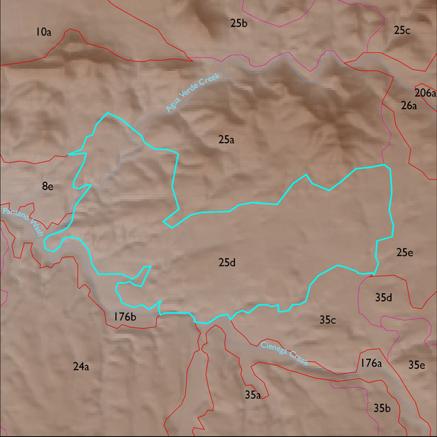
ELT 25d
Soil Summary:
soils mostly shallow to bedrock in a complex of limy very gravelly over extremely cobbly loams with little or no development associated with limestone and better developed non-limy extremely channery loams over extremely channery clays related to phyllite; Pima County soil survey map unit 42 (Mabray-Deloro-Rock outcrop complex, 20 to 65 percent slopes) comprises 90% of the ELT
Geologic Materials:
alluvium, colluvium and residuum associated with old alluvium (QTs); the Lower Davidson Canyon facies of Pantano Formation, mixed conglomerate, reddish (Tpl); upper member of Pantano Formation (Tpu); and Turkey Track Andesite (Tpv) which comprise 41%, 15%, 12% and 11% of the ELT, respectively
Landforms:
undissected to coarsely dissected, weakly incised hills and pediment surfaces