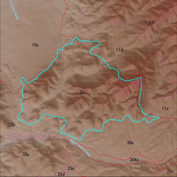
ELT 25c
Soil Summary:
soil survey coverage is incomplete for this ELT with about 28 percent of the unit lacking data; Pima County soil survey map unit 42 (Mabray-Deloro-Rock outcrop complex, 20 to 65 percent slopes) dominates the mapped area and characterized by soils mostly shallow to bedrock in a complex of limy very gravelly over extremely cobbly loams with little or no development associated with limestone and better developed non-limy extremely channery loams over extremely channery clays related to phyllite.
Geologic Materials:
alluvium, colluvium and residuum associated with Horquilla Formation (Ph); Escabrosa Formation (Me); Earp Formation (PPe); Escabrosa and Horquilla, undivided (PMc); younger Holocene terraces and active channel deposits (Qy2); and Bolsa. Abrigo, and Martin Formations (Dcu) which comprise 26%, 26%, 11%, 7% and 6% of the ELT, respectively
Landforms:
moderately dissected, moderately to strongly incised hills and mountain slopes