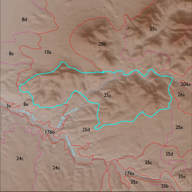
ELT 25a
Soil Summary:
mostly shallow to bedrock, a complex of limy very gravelly over extremely cobbly loams with little or no development associated with limestone, better developed extremely channery loams over extremely channery clays related to phyllite and lacking lime, and extremely gravelly loams associated with schist with lime accumulations; dominated by Pima County soil survey map units 57 (Mabray-Deloro-Rock outcrop complex, 20 to 65 percent slopes) and 59 (Pantano-Rock outcrop complex, 25 to 60 percent slopes) which comprise 55% and 35% of the ELT, respectively
Geologic Materials:
alluvium, colluvium and residuum associated with Horquilla Formation (Ph); Earp Formation (PPe); and the Epitaph Formation (Pe) which comprise 47%, 27% and 13% of the ELT, respectively
Landforms:
moderately dissected, weakly to moderately incised hills