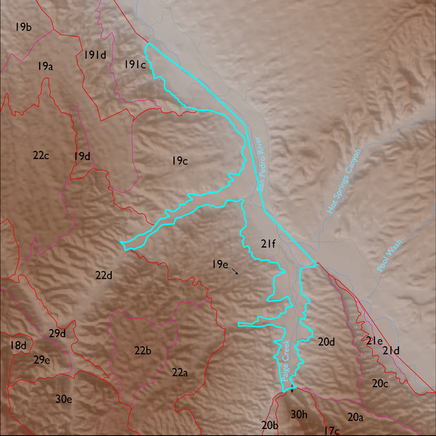
ELT 21f
Soil Summary:
very deep, textures vary widely and soils are often stratified – loamy sand to silt loam surfaces with very gravelly coarse sand to silty clay loam layers below, lime content varies from none to limy throughout or within a foot of the surface, no or little soil development, some high waters tables on lower terraces; dominated by Cochise County, Northwestern Part soil survey units 2 (Agustin-Yturbide-Kokan complex, Sonoran, 1 to 8 percent slopes), 66 (Queencreek-Riverwash complex, Sonoran, 0 to 5 percent slopes), 41 (Gila-Glendale complex, Sonoran, 0 to 2 percent slopes), 18 (Cascabel, Quiburi soils, and Riverwash, Sonoran, 0 to 5 percent slopes), 20 (Casabel, Quiburi, and Typic Fluvaquents soils and Water, Sonoran, 0 to 5 percent slopes), and 85 (Vinton-Gila complex, Sonoran, 0 to 3 percent slopes). These units comprise 46%, 19%, 10%, 8%, 7% and 7% of the ELT, respectively
Geologic Materials:
river alluvium associated with late Holocene alluvium (Qy2,Qyc), active channel and Holocene terraces (Qyr), Holocene alluvium (Qy), and which comprise 45%, 37%, and 17% of the ELT, respectively
Landforms:
coarsely dissected, weakly to moderately incised mainly on river terrace breaks; terraces themselves show little dissection