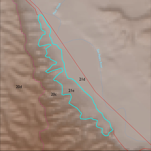
ELT 21e
Soil Summary:
very deep, textures vary widely and soils are often stratified – loamy sand to gravelly sandy loam surfaces with gravelly coarse sand to gravelly and very gravelly sandy loam layers below, lime content varies from none to limy throughout or within a foot of the surface, no or little soil development; dominated by Cochise County, Northwestern Part soil survey unit 2 (Agustin-Yturbide-Kokan complex, Sonoran, 1 to 8 percent slopes) which comprises 99% of the ELT, respectively
Geologic Materials:
river alluvium associated with Holocene alluvium (Qy) which comprises 98% of the ELT
Landforms:
coarsely dissected, weakly to moderately incised mainly on river terrace breaks; terraces themselves show little dissection