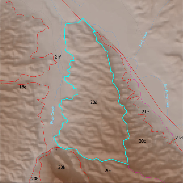
ELT 20d
Soil Summary:
dominant soils range from shallow to caliche hardpan to very deep, sandy loam to very gravelly sandy loam and loam surfaces over gravelly, very gravelly, and extremely gravelly sandy loam and loam subsurface layers, are limy throughout, and have moderate to strong development (lime accumulation and cementation); unit is dominated by Cochise County, Northwestern Part soil survey unit 77 (Stagecoach-Whitlock-Delnorte, Chihuahuan, 5 to 20 percent slopes). This unit comprises 97% of the ELT
Geologic Materials:
alluvium and residuum associated with Quiburis basin fill deposits, undivided (Tq) and Holocene alluvium (Qy) which comprise 91% and 7% of the unit, respectively
Landforms:
finely dissected, weakly incised fan and pediment surfaces