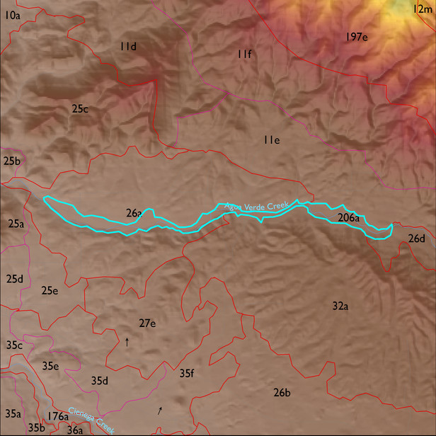
ELT 206a
Soil Summary:
very deep, sandy loam throughout or very gravelly sandy loam surface soils with extremely cobbly sandy loams and loamy sands below; lime or lime coatings on rock fragments deeper in soil profile, no development; dominated by Pima County map unit 37 (Keysto extremely gravelly fine sandy loam, 2 to 8 percent slopes) and 19 (Comoro sandy loam, 0 to 2 percent slopes)
Geologic Materials:
dominated by younger Holocene terraces and active channel deposits (Qy2) which comprise 92% of the unit
Landforms:
undissected to coarsely dissected, weakly incised alluvial terraces and floodplain