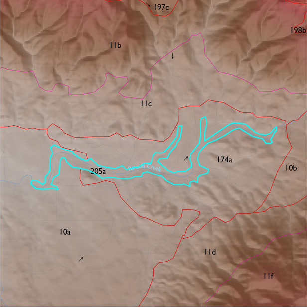
ELT 205a
Soil Summary:
soil survey information is incomplete for approximately 22% of this unit; the mapped portion is dominated by Pima County map unit 3 (Anthony fine sandy loam, 0 to 3 percent slopes) which are very deep sandy loams with no soil development and lime throughout
Geologic Materials:
dominated Pantano Formation, undivided (Tp) and heterogeneous granodioritic rocks of the northern White Tanks (Xgd) which comprise 61% and 32% of the unit, respectively
Landforms:
undissected to coarsely dissected, weakly incised alluvial terraces and floodplain