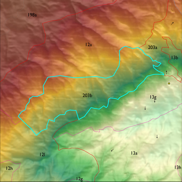
ELT 203b
Soil Summary:
dominant soils are shallow to moderately deep to bedrock, very flaggy sandy loam and gravelly fine sandy loam surfaces over very channery and flaggy sandy loams and very gravelly fine sandy sandy loams, no lime present, weak to moderate development (organic matter accumulation); unit dominated by Pima County soil survey map units 76 (Spudrock-Far-Rock outcrop complex, 25 to 65 percent slopes) and 75 (Spudrock-Boriana complex, 10 to 35 percent slopes). These units comprise 68% and 32% of the ELT, respectively
Geologic Materials:
slope alluvium, colluvium and residuum associated mostly with the Catalina-Rincon igneous metamorphic complex (TXm) which comprises 100% of the unit, respectively
Landforms:
coarsely to moderately dissected mountain slopes with shallow to moderate drainage incision (numerous rock fractures; highly pervious)