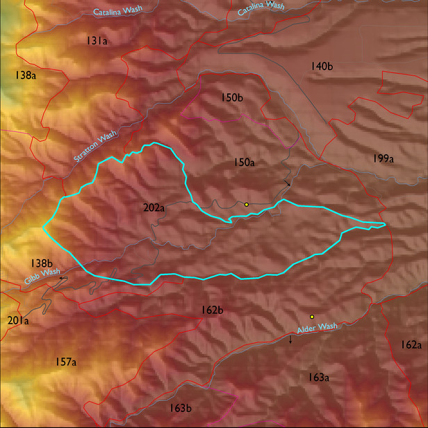
ELT 202a
Soil Summary:
detailed soil survey information is incomplete for this unit; mapped within the broad scale GES unit 475 characterized by extremely cobbly sandy loams shallow to granite or granite-like bedrock, acid soils lacking lime throughout, minimal soil development, and associated rock outcroppings
Geologic Materials:
slope alluvium, colluvium and residuum associated mostly with Rice Peak porphyry (TKr); Middle Proterozoic granitic rocks (Yg) and Middle Proterozoic Apache Group and Troy Quartzite (Ya). They comprise 44%, 43%, and 10% of the unit, respectively
Landforms:
coarsely to moderately dissected hills with shallow drainage incision