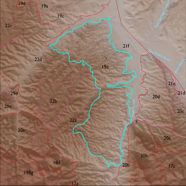
ELT 19e
Soil Summary:
dominant soils range from shallow to caliche hardpan to very deep, sandy loam to very gravelly sandy loam and loam surfaces over gravelly, very gravelly, and extremely gravelly sandy loam and loam subsurface layers, limy throughout, moderate development (lime accumulation); unit is dominated by Cochise County, Northwestern Part soil survey unit 78 (Stagecoach-Whitlock-Delnorte, Sonoran, 5 to 20 percent slopes). This unit comprises 97% of the ELT
Geologic Materials:
alluvium and residuum associated with Quiburis formation, fanglomerate (Tqf); conglomerate mostly older than Quiburis, San Manuel? (Tcg); and Pleistocene piedmont alluvium (Qy,Qy2) which comprise 53%, 32% and 10%, of the unit, respectively
Landforms:
finely dissected, weakly to deeply incised fan and pediment surfaces