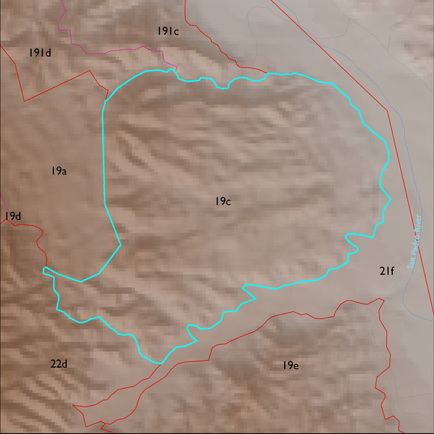
ELT 19c
Soil Summary:
dominant soils are very shallow to shallow to conglomerate and very deep, very gravelly fine sand or sandy loam surfaces over often stratified fine sand, sand, and gravelly coarse sand or sandy loam subsurface layers, mostly limy throughout, no or little soil development; unit is dominated by Cochise County, Northwestern Part soil survey unit 68 (Redington-Ripsey-Rock outcrop assoication, 15 to 70 percent slopes). This unit comprises 95% of the ELT
Geologic Materials:
alluvium and residuum associated with Quiburis formation, fine-grained (Tqf); conglomerate mostly older than Quiburis, San Manuel? (Tcg); Quiburis formation with Pleistocene terraces (Tq); and Pleistocene piedmont alluvium (Qy2) which comprise 51%, 25%, 15%, and 9% of the unit, respectively
Landforms:
moderately dissected, weakly to moderately incised fan and pediment surfaces