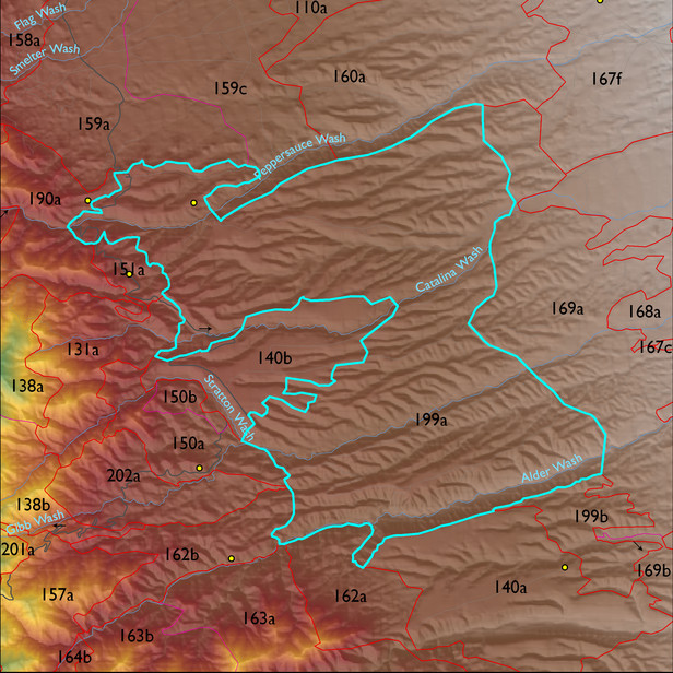
ELT 199a
Soil Summary:
detailed soil survey data is incomplete for about 55% of this unit: where soil survey data is available in the southern half of the polygon Pima County unit 65 (Powerline-Kimrose family complex, 10 to 35 percent slopes) dominates. These soils are shallow or moderately deep to lime cemented layers, are dominantly very gravelly sandy loams or sandy clay loams with lime throughout, moderate development (lime accumulation)
Geologic Materials:
alluvium and residuum associated with gravelly alluvial-fan and braidplain facies of Quiburis Formation (Tqc); sandstone, siltstone and conglomerate, undivided (QTs) and early Pleistocene piedmont deposits (Qo) which comprise 48%, 33% and 6% of the ELT, respectively
Landforms:
finely dissected, moderately to deeply incised fan and pediment surfaces