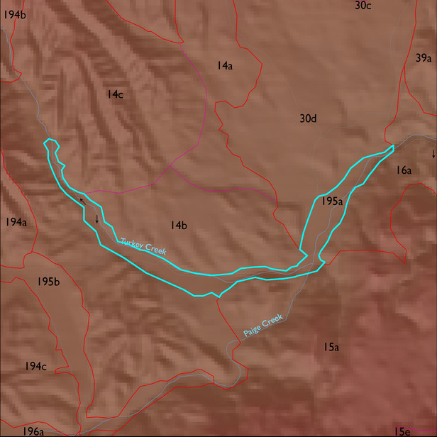
ELT 195a
Soil Summary:
detailed soil survey is not available for this ELT; soils are projected to be very deep, medium to coarse textured alluvial soils
Geologic Materials:
alluvium associated with sandstone, siltstone, and conglomerate, undivided (QTs); surficial deposits (Qs); and Holocene piedmont alluvium (Qy) which comprise 54%, 18% and 18% of the ELT, respectively
Landforms:
coarsely dissected, weakly to moderately incised mainly on river terrace breaks; terraces themselves show little dissection