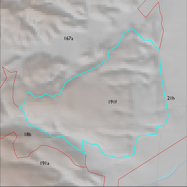
ELT 191f
Soil Summary:
soils include very and extremely gravelly loams shallow to a caliche hardpan and very deep, very gravelly sandy loam to sand surface soils over gravelly, very gravelly and extremely gravelly sandy loam to sand subsurface layers, soils are limy throughout, moderate to strong development (lime accumulation and cementation); other soils are moderately deep to a lime cemented hardpan and have very cobbly loam surfaces over very cobbly clay loam and clay, lime deeper in the soil profile, and strong development (clay accumulation and cementation); other soils are very deep; very gravelly clay loam, gravelly sandy loam, and very gravelly sandy loam surface layers over gravelly, very gravelly and extremely gravelly sandy loam, gravelly and very gravelly sandy clay loam subsurface layers; lime depth ranges from the surface to more than a foot below the soil surface; no to modest development (lime and clay accumulation); this unit is dominated by Pima County map units 67 (Redo very gravelly sand, 15 to 50 percent slopes), 50 (Nahda very cobbly loam, 2 to 8 percent slopes), 61 (Pinaleno-Stagecoach-Palos Verdes complex, 10 to 35 percent slopes), and 22 (Delnorte-Stagecoach complex, 0 to 20 percent slopes), which comprise 37%, 26%, 17% and 14% of the ELT, respectively
Geologic Materials:
alluvium and residuum associated with middle to late Pleistocene piedmont alluvium, undivided (Qi); early Pleistocene piedmont deposits (Qo); and (KJb) which comprise 55%, 31% and 7% of the unit, respectively
Landforms:
coarsely to moderately dissected, moderately to deeply incised fan and pediment surfaces