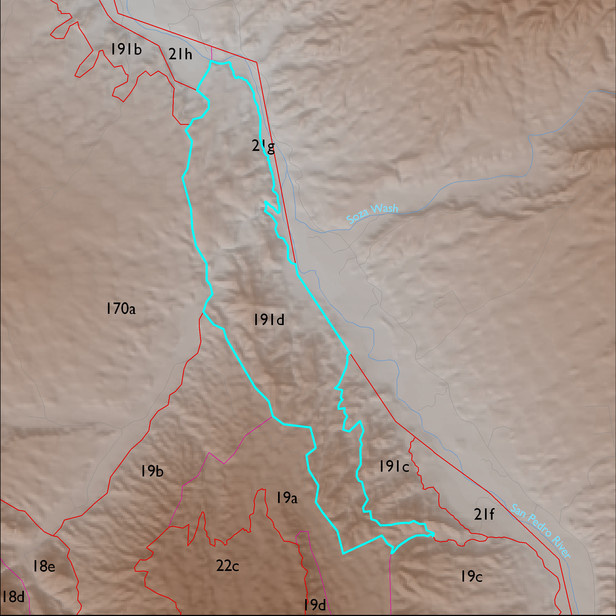
ELT 191d
Soil Summary:
very deep, very gravelly fine sand over stratified sands, fine sands, gravelly coarse sands, etc., mixed limy and non-limy layers, little or no development; other soils are shallow or very shallow to conglomerate bedrock, sandy loams throughout, limy, little or no development; this unit is dominated by Cochise County, Northwestern Part map unit 68 (Redington-Ripsey-Rock outcrop association, 15 to 70 percent slopes) which comprises 95% of the ELT
Geologic Materials:
alluvium and residuum associated with conglomerate, older than Quiburis Formation, San Manuel? (Tcg) and unnamed (Tcg) which comprise 67% and 18% of the unit, respectively
Landforms:
moderately to finely dissected, moderately to deeply incised fan and pediment surfaces