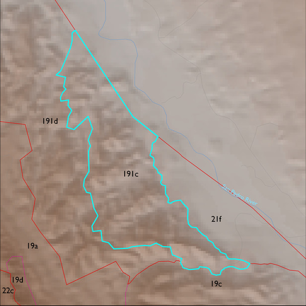
ELT 191c
Soil Summary:
very deep, very gravelly sandy loam to sand surface soils over gravelly, very gravelly and extremely gravelly sandy loam to sand subsurface layers, soils are limy throughout, moderate to strong development (lime accumulation); other soils are finer textured and very deep, typically silt loam surfaces over silty clay and clay subsurface layers, lime and gypsum concentrations occur throughout, moderate to strong development (lime and gypsum accumulation, clay accumulation); this unit is dominated by Cochise County, Northwestern Part map unit 15 (Calcigypsids-Contention-Redo complex, Sonoran, 5 to 45 percent slopes) which comprises 88% of the ELT
Geologic Materials:
alluvium and residuum associated with conglomerate, older than Quiburis Formation, San Manuel? (Tcg); unnamed (Tq); and late Holocene alluvium (Qy2) which comprise 71%, 13% and 11% of the unit, respectively
Landforms:
finely dissected, moderately to deeply incised fan and pediment surfaces