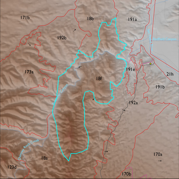
ELT 18f
Soil Summary:
mostly shallow to bedrock, a complex of limy very gravelly over extremely cobbly loams with little or no development associated with limestone, better developed extremely channery loams over extremely channery clays related to phyllite and lacking lime, and limy extremely gravelly loams associated with sandstone; unit dominated by Pima County soil survey map unit 42 (Mabray-Deloro-Rock outcrop complex, 25 to 60 percent slopes), 23 (Deloro-Andrada complex, 5 to 35 percent slopes), and 24 (Deloro-Rock outcrop complex, 15 to 60 percent slopes). These units comprise 42%, 9% and 5% of the ELT, respectively
Geologic Materials:
alluvium, colluvium and residuum associated with Escabrosa Limestone and Martin Formation (MDc); tectonites (P1s); Apache Group and Troy Quartzite (Middle Proterozoic) (Ya);Bolsa Quartzite and Abrigo Formation (Cba); and sandstone, siltstone and conglomerate, undivided (QTs) which comprise 31%, 22%, 19%, 15 % and 5% of the unit, respectively
Landforms:
moderately to finely dissected, moderately to deeply incised mountain slopes