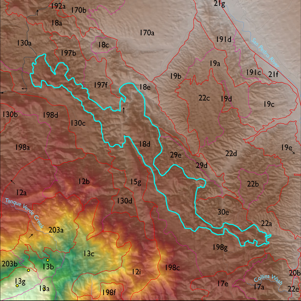
ELT 18d
Soil Summary:
soils are mostly shallow to bedrock, a complex of limy very gravelly over extremely cobbly loams with little or no development associated with limestone, better developed extremely channery loams over extremely channery clays related to phyllite and lacking lime, and limy extremely gravelly loams associated with sandstone ; other soils are shallow to granite or granite like rocks, have gravelly or very gravelly sandy loam surfaces layers over very gravelly fine sandy loams or very gravelly sandy clay loams, they lack lime, and have no to moderate development (clay accumulation); the ELT is dominated by Pima County soil survey map units 42 (Mabray-Deloro-Rock outcrop complex, 25 to 60 percent slopes), 23 (Deloro-Andrada complex, 5 to 35 percent slopes) and Cochise County, Northwestern Part soil survey unit 69 (Romero-Rodman-Rock outcrop complex, 5 to 60 percent slopes). These unit comprise 50%, 25% and 14% of the ELT, respectively
Geologic Materials:
alluvium, colluvium and residuum associated with Glance Conglomerate/Bisbee Group (KJb, KJbg); Catalina-Rincon igneous metamorphic complex (TXm); and tectonite derived from Devonian and Cambrian sedimentary rocks (TDCt) which comprise 58%, 12% and 8% of the unit, respectively
Landforms:
moderately to finely dissected, moderately to deeply incised mountain slopes