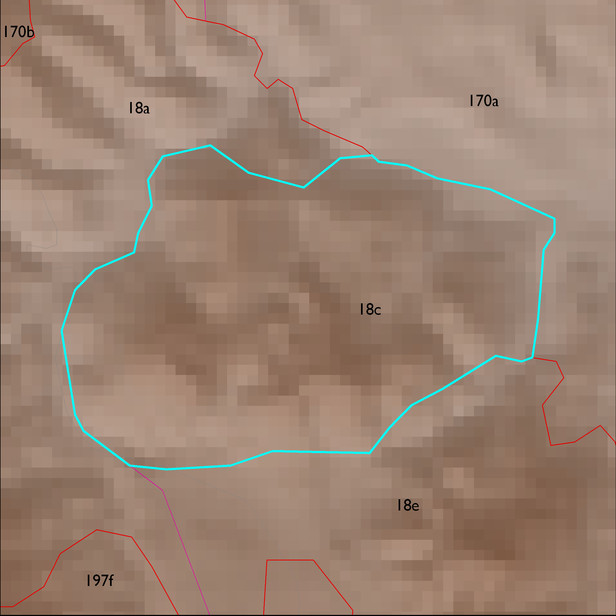
ELT 18c
Soil Summary:
shallow to bedrock (mostly phyllite, andesite and similar rock types), very gravelly sandy loams to extremely channery loams over very gravelly sandy clay loams to extremely channery clays, lacking lime, moderate to high development (clay accumulation); unit dominated by Pima County soil survey map unit 56 (Pantak-Deloro complex, 8 to 35 percent slopes). This unit comprises 100% of the ELT
Geologic Materials:
alluvium, colluvium and residuum associated with Undivided Oligocene to Miocene Volcanic Rocks (Tv); Tertiary Sediments (Ts); Xgl; and sandstone, siltstone and conglomerate, undivided (QTs) which comprise 44%, 37%, 10% and 8% of the unit, respectively
Landforms:
moderately dissected, deeply incised mountain slopes