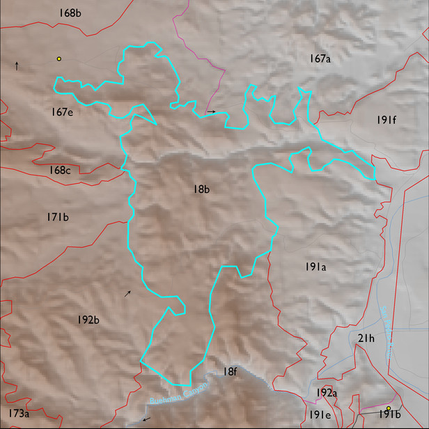
ELT 18b
Soil Summary:
soils mostly shallow to bedrock in a complex of limy very gravelly over extremely cobbly loams with little or no development associated with limestone and better developed non-limy extremely channery loams over extremely channery clays related to phyllite; unit dominated by Pima County soil survey map unit 42 (Mabray-Deloro-Rock outcrop complex, 25 to 60 percent slopes). This unit comprises 98% of the ELT
Geologic Materials:
alluvium, colluvium and residuum associated with Glance Conglomerate/Bisbee Group (KJb, KJbg); sandstone, siltstone and conglomerate, undivided (QTs) and tectonites (P1s) which comprise 63%, 17% and 15% of the unit, respectively
Landforms:
coarsely to moderately dissected, moderately to deeply incised mountain slopes