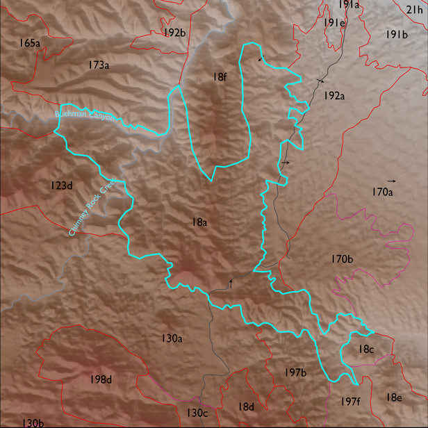
ELT 18a
Soil Summary:
soil survey data coverage is incomplete for this ELT; mapped areas are mostly shallow to bedrock, a complex of limy very gravelly over extremely cobbly loams with little or no development associated with limestone, better developed extremely channery loams over extremely channery clays related to phyllite and lacking lime, and limy extremely gravelly loams associated with sandstone ; the mapped areas are dominated by Pima County soil survey map units 23 (Deloro-Andrada complex, 5 to 35 percent slopes) and 42 (Mabray-Deloro-Rock outcrop complex, 25 to 60 percent slopes)
Geologic Materials:
alluvium, colluvium and residuum associated with Glance Conglomerate/Bisbee Group (KJb, KJbg); sandstone, siltstone and conglomerate, undivided (QTs) and Pinal Schist (Xp) which comprise 78%, 6% and 5% of the unit, respectively
Landforms:
finely dissected, deeply incised mountain slopes