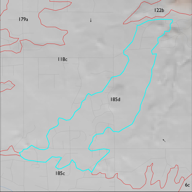
ELT 185d
Soil Summary:
very deep, sandy loams over sandy loams, gravelly sandy loams and gravelly loamy coarse sands, devoid of lime, weakly developed; this unit is dominated by Pima County map unit 35 (Hayhook sandy loam, 1 to 5 percent slopes) which comprises 85% of the ELT
Geologic Materials:
dominated by Pantano Formation (Tp); Tertiary sediments? (Ts-Y/Ts); and modern channel deposits (Qyc) which comprise 45%, 27% and 12% of the unit, respectively
Landforms:
undissected to coarsely dissected, weakly incised alluvial terraces and floodplain
