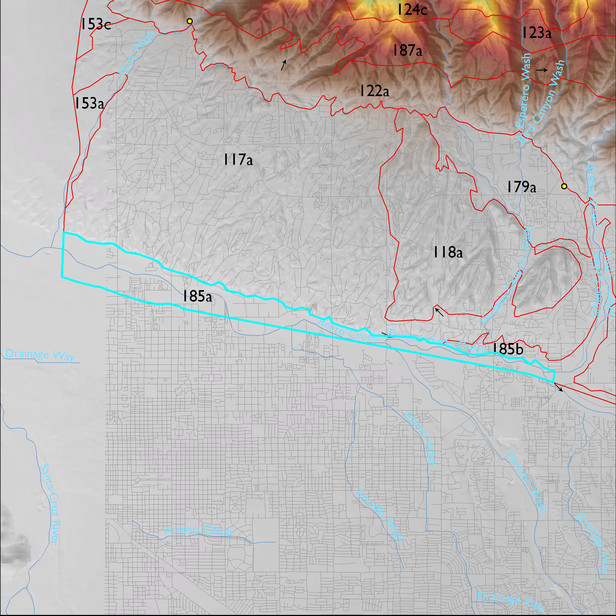
ELT 185a
Soil Summary:
very deep, textures vary widely and soils are often stratified – very gravelly fine sand to loam surfaces with extremely gravelly sand to silty clay loam layers below, limy, no or little development (relatively recent alluvium); this unit is dominated by Pima County map units 5 (Arizo-Riverwash complex, 0 to 3 percent slopes) and 30 (Glendale silt loam, 0 to 3 percent slopes) which comprise 53% and 44% of the ELT, respectively
Geologic Materials:
dominated by Holocene channel deposits and terraces (Qyr); modern channel deposits (Qyc); and Holocene piedmont alluvium, undivided (Qy) which comprise 66%, 17% and 14% of the unit, respectively
Landforms:
undissected to coarsely dissected, weakly incised alluvial terraces and floodplain