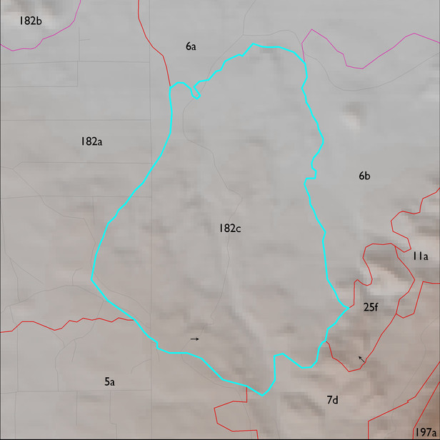
ELT 182c
Soil Summary:
soils are shallow and moderately deep to granite or granite-like rocks, extremely gravelly sandy loams and loams, often with very or extremely gravelly sandy clay subsoils, lime can occur throughout or be restricted to rock coatings lower in the soil, and moderate development (lime and subsoil clay accumulation); this unit is dominated by Pima County map unit 58 (Pantano-Granolite complex, 5 to 25 percent slopes) which comprises nearly 100% of the ELT
Geologic Materials:
alluvium and residuum associated with Pinal Schist and quartzite (Xp); middle to late Pleistocene piedmont alluvium, undivided (Qi); Rincon Valley Granodiorite (Xrv); and undivided surficial deposits and basin fill (QTs) and which comprise 78%, 9%, 7% and 5% of the unit, respectively
Landforms:
coarsely to moderately dissected, weakly incised pediment surfaces and hills