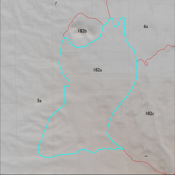
ELT 182a
Soil Summary:
shallow to granite or granite like rocks; very gravelly fine sandy loam over gravelly sandy clay loam; no lime; modest development (clay accumulation); this unit is dominated by Pima County map unit 16 (Chimenea very gravelly fine sandy loam, 5 to 15 percent slopes) which comprises nearly 100% of the ELT
Geologic Materials:
alluvium and residuum associated with sandstone, siltstone and conglomerate, undivided along with undivided surficial deposits and basin fill (QTs) and Rincon Valley Granodiorite (Xrv) which comprise 50% and 49% of the unit, respectively
Landforms:
coarsely dissected, weakly incised pediment surfaces and hills